MSOL Inc. independently designs and manufactures precision meteorological observation sensors and integrated telemetry software supplied to national weather services (KMA), municipal disaster agencies, and research institutes worldwide.
From patented 2D laser snow depth sensors and PPS-designated Doppler radar precipitation detectors to multi-channel data loggers, we deliver reliable full-stack environmental infrastructure.

Flagship 2D scanning laser snow sensor featuring automated wind drift and surface tilt error compensation algorithms.
Operating continuously across national observatories, alpine passes, and municipal disaster headquarters.









Exported to extreme alpine observatories including Mt. Chimgan (3,000m ASL).
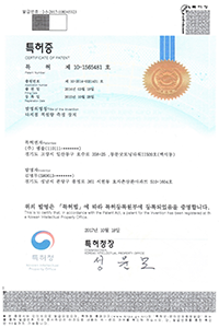
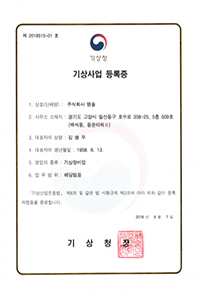
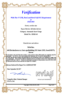

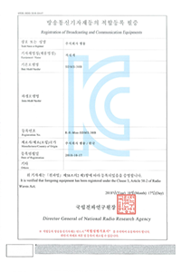
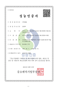
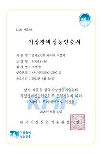
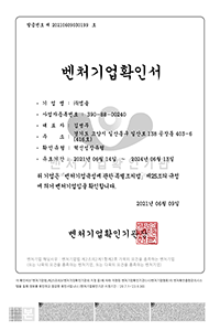
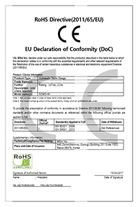
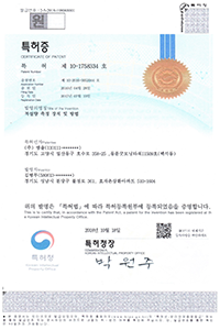
Proprietary 2D laser multi-beam scanning patents secured.
Dedicated engineering support team for winter blizzard warnings and severe storm disaster responses.
Building upon our proprietary snow depth technology, MSOL delivers next-generation rain gauges, radar precipitation detectors, and all-in-one data telemetry modules.
MSOL Inc.'s current flagship standard model with full National Type-Approval Certification.
Engineered with a compact, lightweight chassis, actively supplied to national weather services, highways, and exported globally including Canada, Germany, and Uzbekistan.
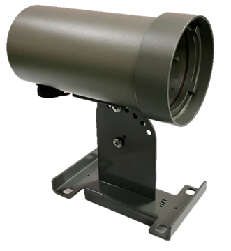
Next-generation composite sensor integrating simultaneous snow/road surface temperature sensing with 2D laser depth measurement.
Fully Type-Approval Certified, confirming state-accredited measurement accuracy and operational credibility.

MSOL's 1st-generation original model commercialized through National R&D, establishing the world's first 36-point 2D scanning snow measurement with official Type-Approval Certification.
Established foundational weather observation networks nationwide; full maintenance parts and technical service continue.
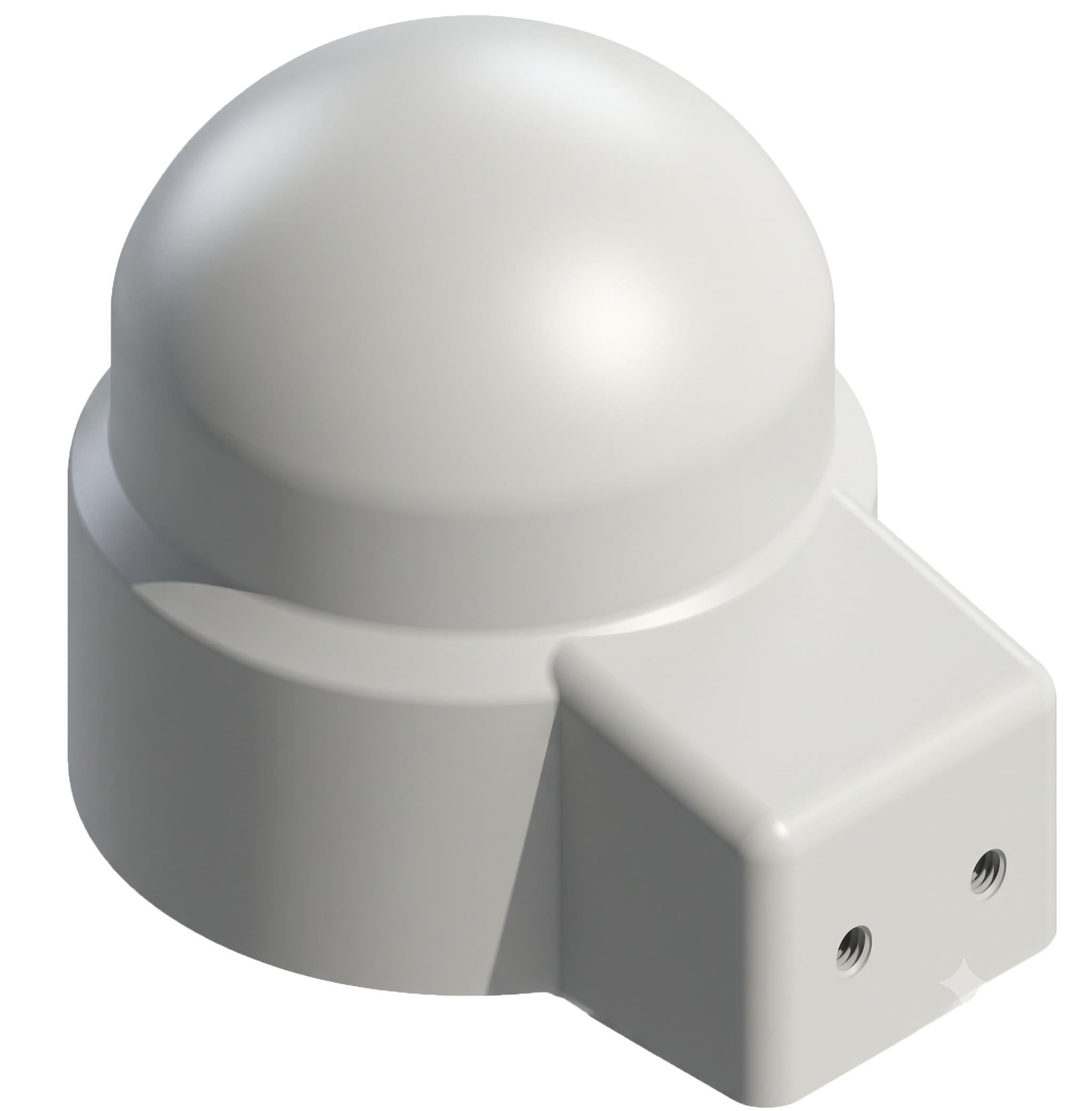
Adopting MSOL Inc.'s patented Doppler radar technology, it analyzes precipitation particle spectra via 24GHz microwave to discriminate between rain and snow automatically in real time.
Non-contact radome completely eliminates optical contamination (dust, webs, bird droppings) and false triggers from fog or dew.
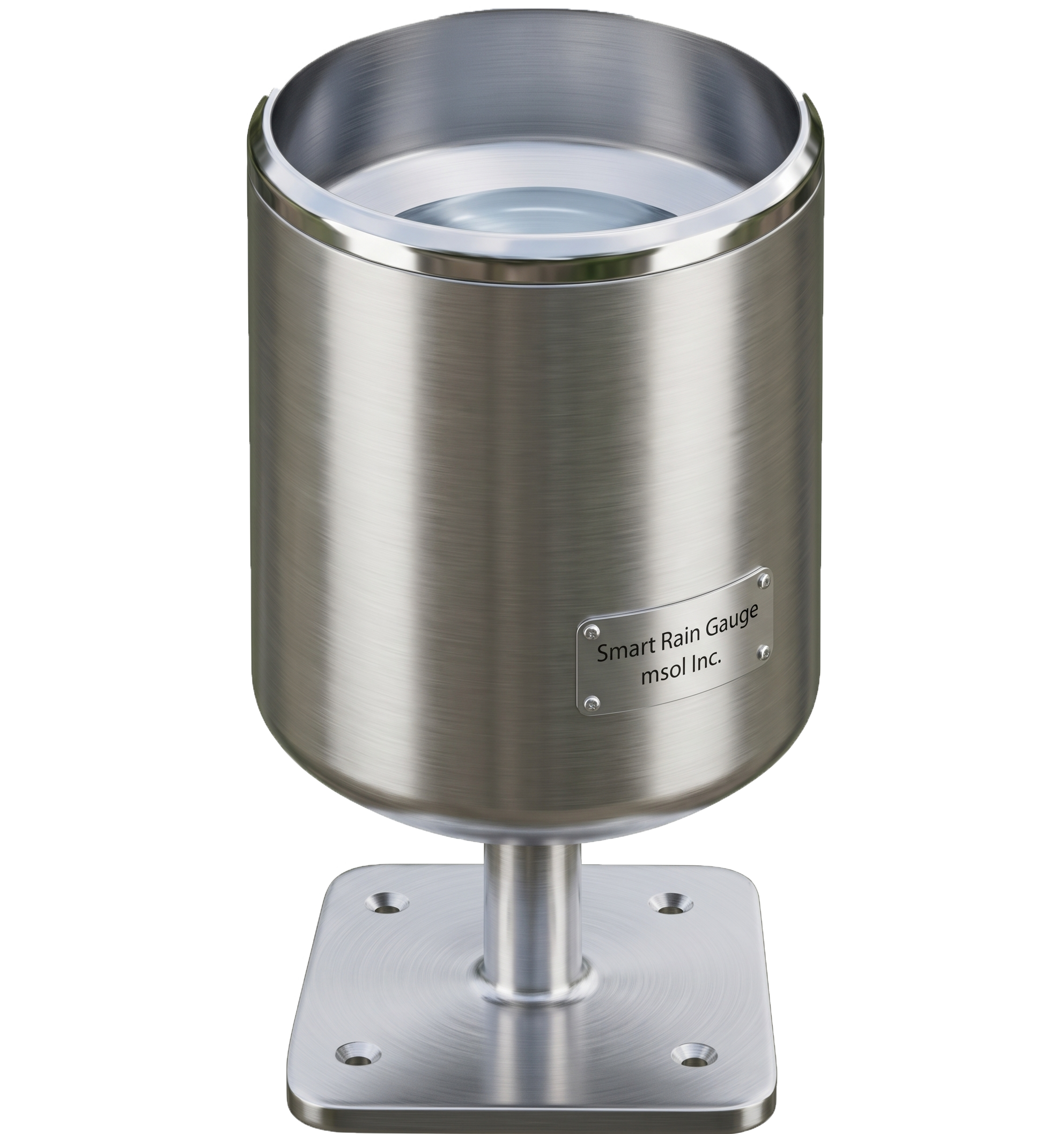
Next-generation rain gauge adopting an innovative hybrid tipping-and-weighing mechanism to eliminate tipping loss.
Configured with a precision load cell beneath the bucket to continuously measure trace amounts of rain that do not reach the tipping threshold.
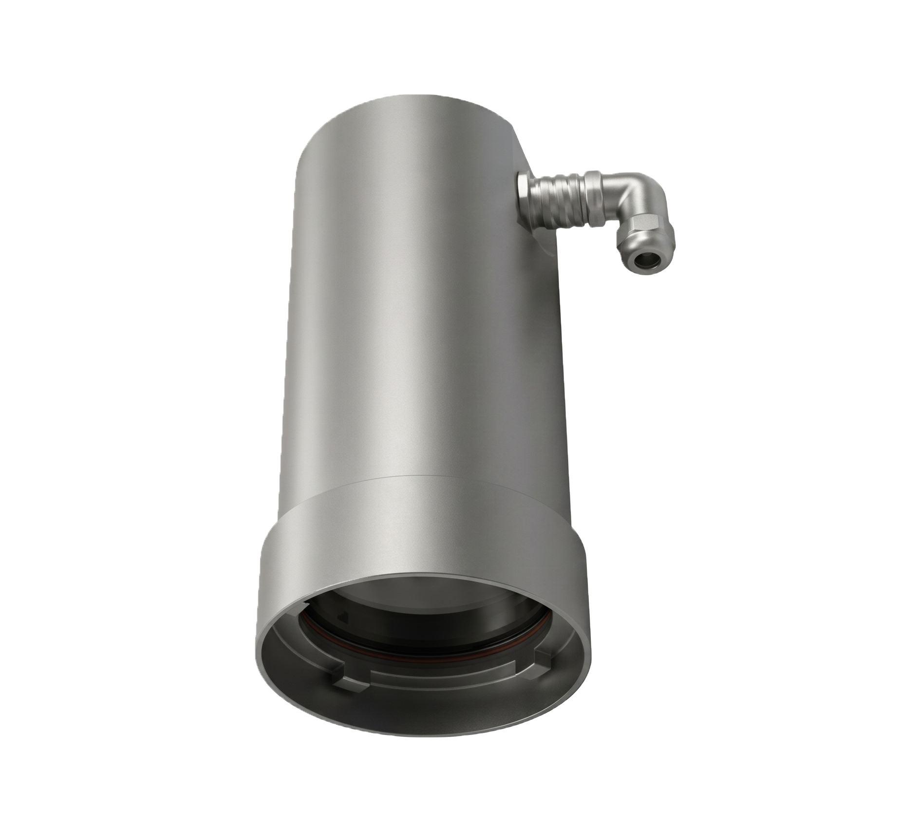
Equipped with dual radar and laser scanning technology for simultaneous and precise level tracking across water, snow, ice, and structural displacement.
Optimized for road/underpass flood alerts, water level observation, greenhouse snow-collapse warnings, and solar panel monitoring.
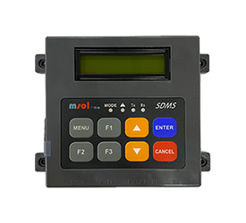
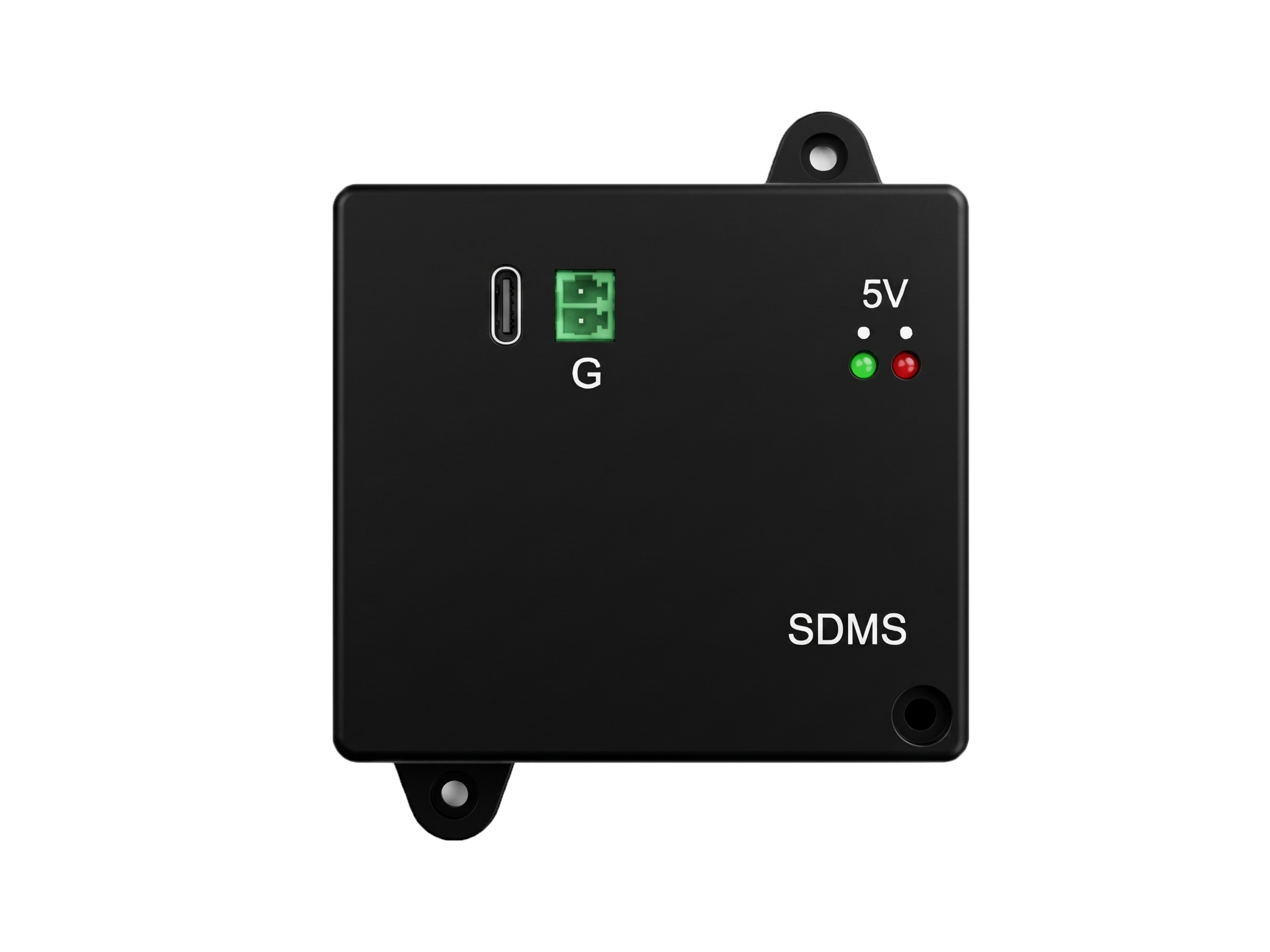
Compact multi-channel data logger that controls SDMS series snow sensors while simultaneously connecting rain gauges and precision temperature sensors.
Collects, logs, and processes multi-parameter field data in real time, securely transmitting to remote monitoring servers.
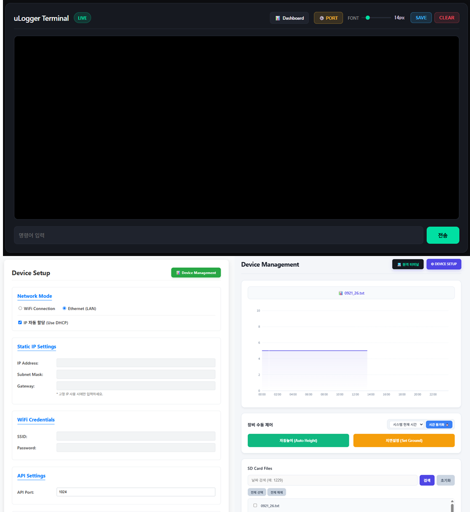
Network communication module that receives and stores RS-232 serial observation data, featuring an embedded web console for real-time charting and device management.
Fully supports automated database (DB) forwarding to remote dispatch servers alongside designated TCP port-based HEX packet request/response protocols.
Beyond sensor hardware, MSOL develops turnkey cloud-based web monitoring software that concurrently collects, analyzes, and visualizes high-resolution field observation metrics and live CCTV imagery.
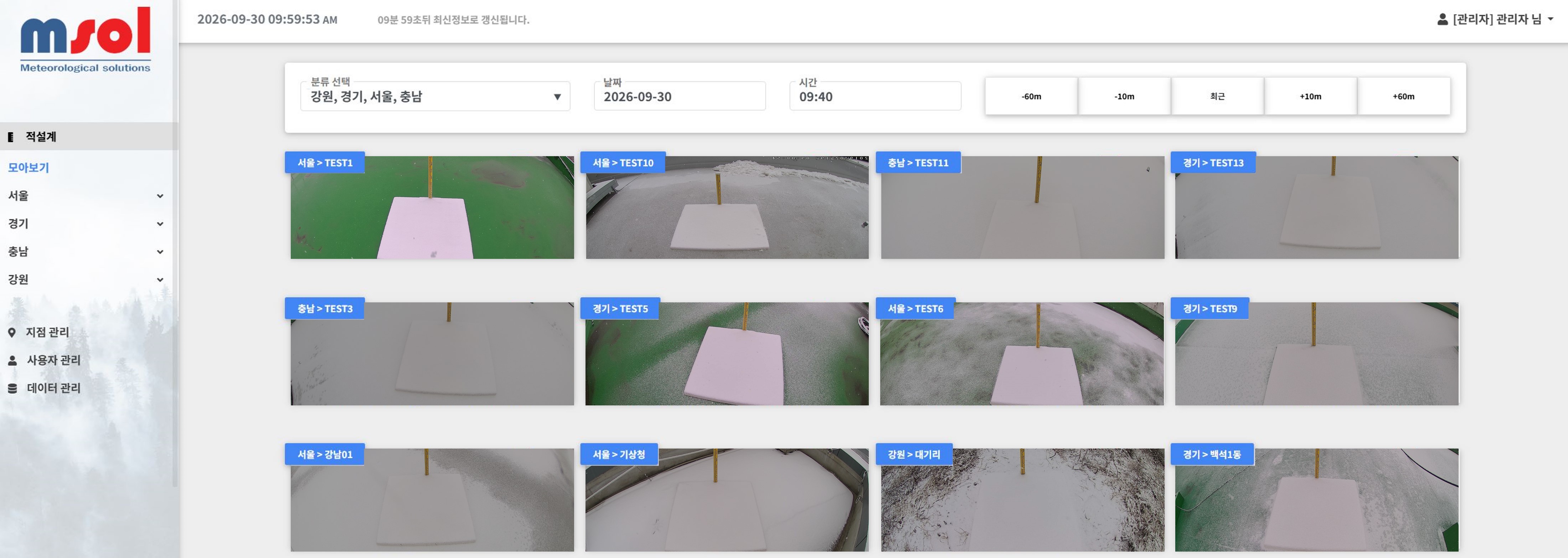
Concurrently displays synchronized 12-split camera snapshots of observation snow plates on a single dashboard, enabling instant visual cross-validation of laser sensor metrics against real physical snow buildup.
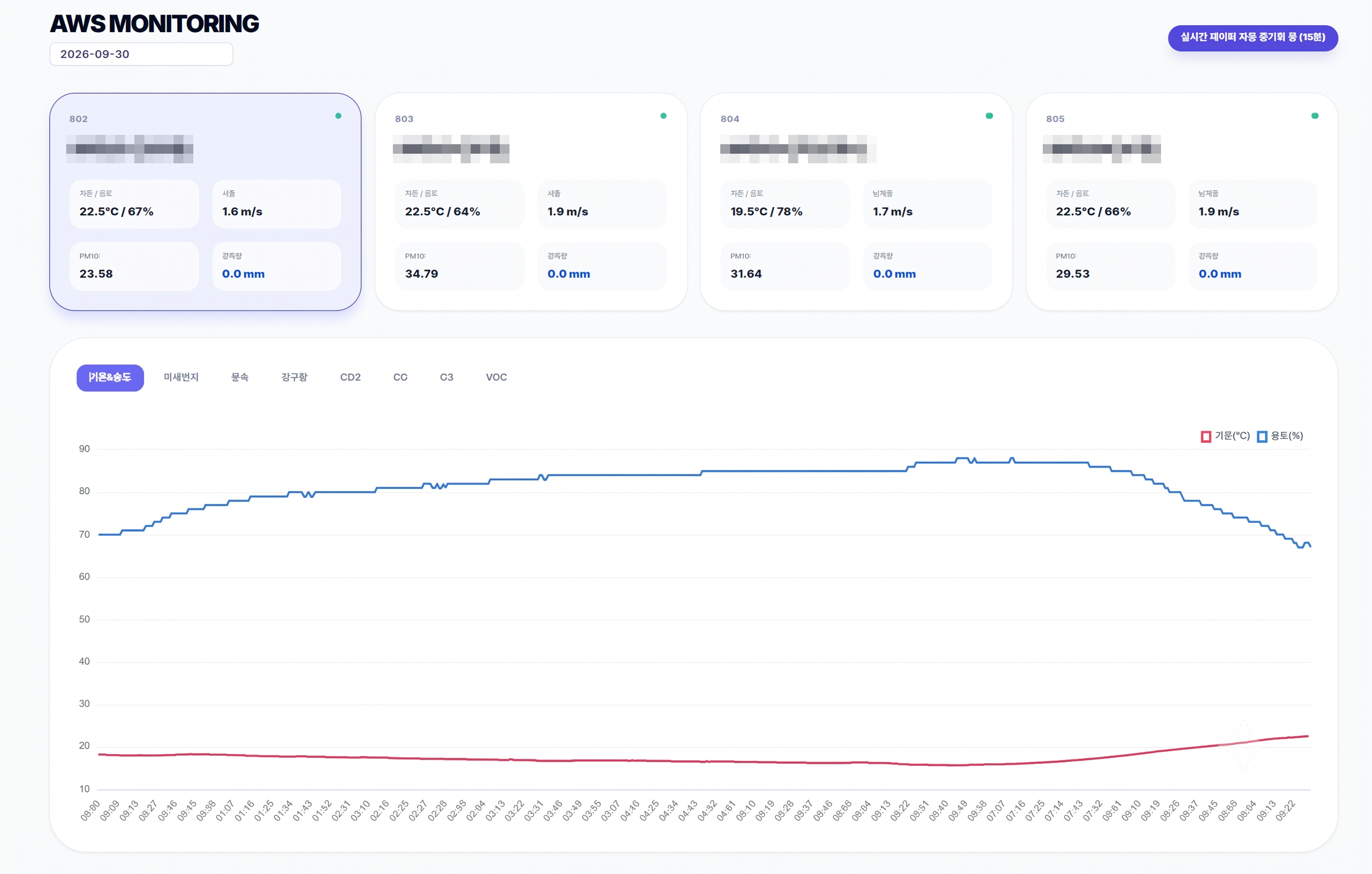
Charts and performs detailed analysis of multi-channel time-series data—temperature, relative humidity, wind speed/direction, precipitation, and fine dust (PM10)—on an interactive single-pane dashboard.
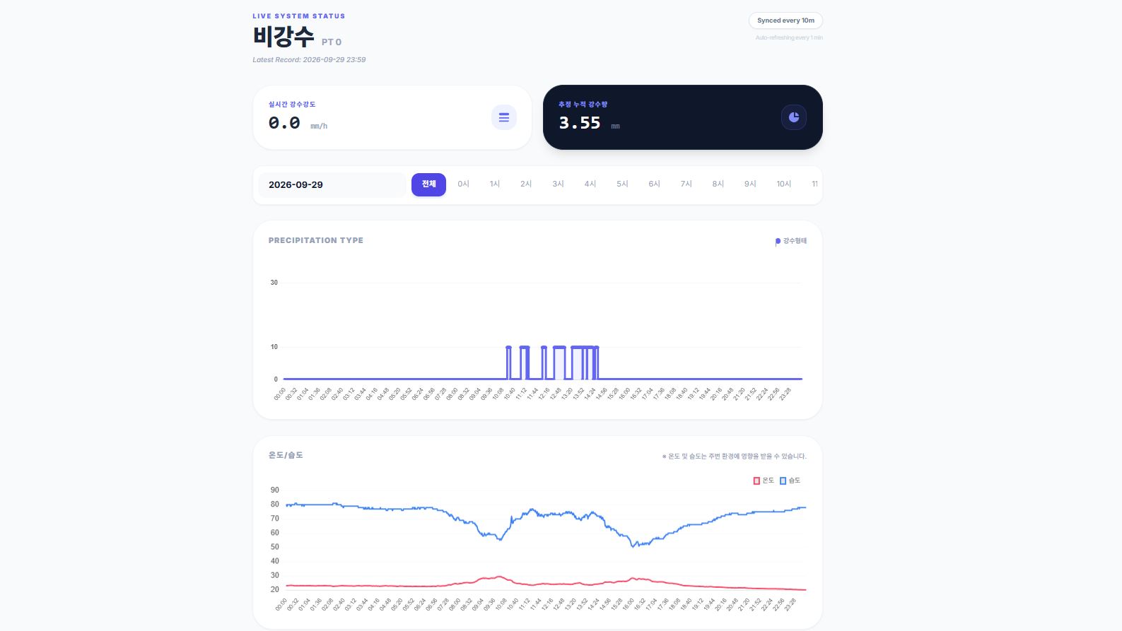
Directly interfaces with Doppler radar precipitation detectors and smart rain gauges to determine rain/snow type, compute real-time rain intensity (mm/h), and calculate cumulative rainfall estimations.
MSOL Inc. is a specialized meteorological engineering company that synergizes electrical engineering, precision measurement, wireless communication, and meteorological analytical algorithms.
Through the successful completion of the 2013–2015 National R&D Program, MSOL pioneered and commercialized innovative 2D laser scanning snow depth measurement technologies, while actively leading snow observation standardization and long-term climate data analytics.
Expanding into precision rain gauges, Doppler radar precipitation detectors, and automated telemetry platforms, MSOL continues to innovate next-generation disaster management technologies that safeguard public infrastructure and human lives globally.
Successfully commercialized state-certified meteorological innovations
Sensors, rain gauges, detectors, loggers & cloud telemetry

The journey of MSOL Inc. from foundational R&D at its founding in 2015 to international standardization (ISO) and 1,000+ units supplied worldwide.
Discover how the 36-point multi-beam scanning system measures snow depth with sub-millimeter precision while eliminating localized surface anomalies.
Proven operational performance under extreme climates: Daegwallyeong Pass, high-altitude alpine ridges, and municipal disaster monitoring networks.

카메라

기상대

지붕위

구름물리

도심옥상

침간산

바람막이

프로그램
For sensor specifications, technical site reviews, and quotation requests for
laser snow depth sensors and radar precipitation detectors, please get in touch with us.